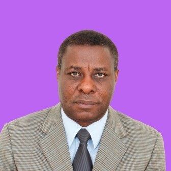
Head of Department
The Department of Geomatic Engineering is one of the five Departments in the School of Engineering at the University of Zambia (UNZA). Students wishing to enter this department after their 2nd year, first semester, in Engineering will follow a three and a half years specialisation programme leading to a Bachelor of Engineering (B.Eng) in Geomatic Engineering. Many service courses are also offered to various Departments within the University.
The Department of Geomatic Engineering had inter-university links with the Royal Institute of Technology (KTH) in Stockholm, Sweden, Delft University of Technology (DUT) and the International Institute for Geo-information Science and Earth Observation (ITC) of the Netherlands. Through these links the Department was supported with staff training as well as acquisition of state of the art laboratory and field equipment. It is hoped that these links could be revived as well as new ones established in future.
Modern instruments and computation facilities enable the academic staff to offer a well-balanced curriculum that meets up-to-date standards. The Department has proved to be a useful platform for consultancy and research activities to assist the Zambian governmental and private sectors in their surveying and related activities. Field surveys (including the use of GPS) and tailor made courses in GIS, Desktop Map production, Natural resources management using remote sensing, and Photogrammetric mapping are among a wide range of services that the Department offers.
The Geomatic Engineering Profession (Formerly Surveying)
A Geomatic Engineer or Technician previously referred to as a surveyor collects information about land and presents this to the customer. Traditionally he was engaged in measuring land and producing maps, but nowadays the surveyor is much more versatile. Various types of data are gathered using modern field instruments, aerial photographs, satellite imagery and digitisers/scanners. Data so collected are processed, analysed and visualised digitally or by analogue means depending on customer demands.
The continuous introduction of new techniques and more sophisticated instruments make surveying a very dynamic and interesting science that has close links with Geography, Planning, Law, Astronomy, Computer Science, Mathematics, Civil Engineering and many other professions.
The advent of new tooling, greater information processing speeds and proficient measurement techniques have also given the surveyor a greater role to play in industry. Thus given the spectrum of works that present day survey professionals are involved in (these now include areas never ventured into before); the term “Surveying” has been rendered inadequate in fully describing the Profession. A name change to a more scientific and more encompassing term was thus necessary. After protracted deliberations the term “Geomatics” and derivatives of it such as Geoinformatics, Geomatic Engineering and others was coined to supplant the name Surveying.
A common definition of Geomatics is that it is a field of activities which, using a systematic approach, integrates all the means used to acquire and manage spatial data required as part of scientific, administrative, legal and technical operations involved in the process of the production and management of spatial information.
Disciplines under the Department of Geomatic Engineering
The Department of Geomatic Engineering is active in the following disciplines:
Engineering Surveying
These are surveys to assist specific projects. Examples of Engineering surveys include: planning, design and setting out of civil engineering constructions, monitoring of deformations using high precision measuring instruments like total stations and GPS, as well as precise levels.
Cadastral Surveying
Surveys related to land boundaries and subdivisions made to create units suitable for transfer or to define limitations of title.
Global Geodesy and Geodetic Surveying
Surveys in which the size and shape of the earth is taken into consideration or is determined. Example: establishment of national control networks, observation of the earth’s gravity field, determination of precise global, regional and local three dimensional positions using GPS.
Photogrammetry
Photogrammetry consists of making precise measurements from photographs and other patterns of recorded radiant energy to reconstruct a three dimensional model of the terrain or other objects.
Data Analyst
This enables finding of distances, angles, areas, volume, elevation and the sizes and shapes of objects. The most common application of photogrammetry is the preparation of maps and providing the spatial data to digital information systems. Photogrammetric mapping can be done on a semi automated stereo plotter, analytical plotter of a fully digital Photogrammetric workstation.
Remote Sensing
Remote Sensing is used to gather and process information about the earth’s environment, particularly its natural cultural resources through the use of photographs and related data acquired from aircraft or satellite sensors.
Undergraduate Programmes in the Department
Postgraduate Programmes in the Department

